10 Port Alice → San Josef Bay
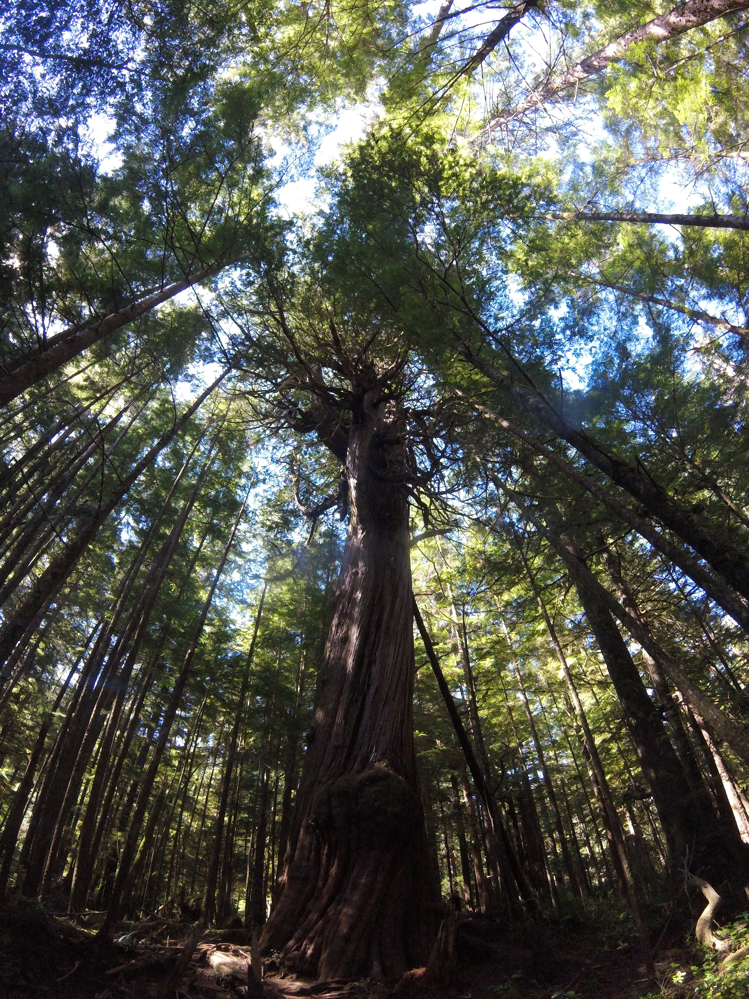
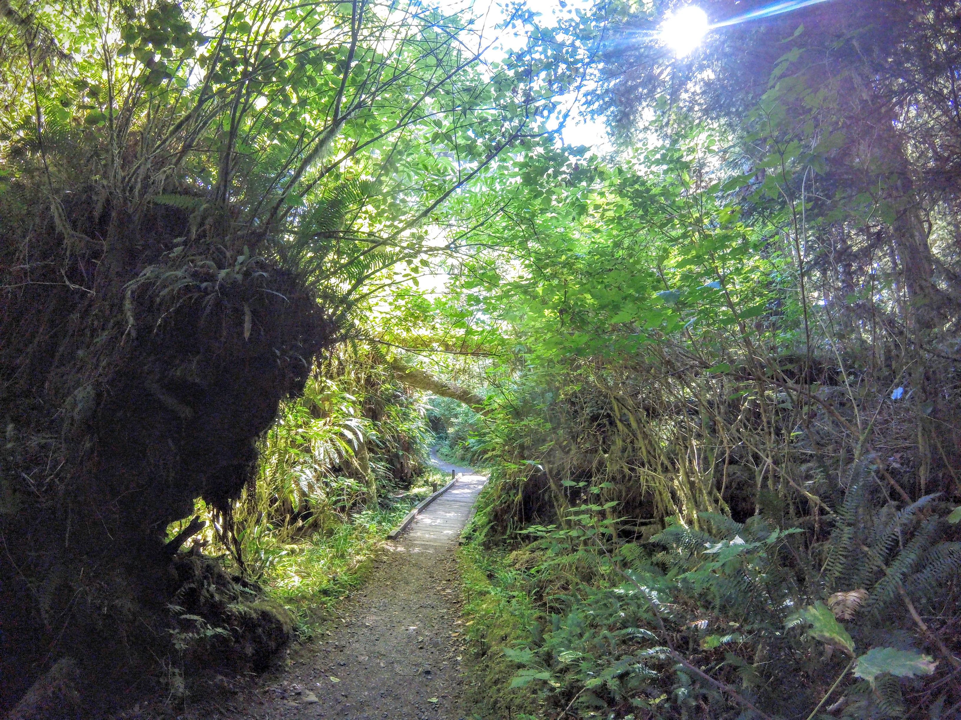
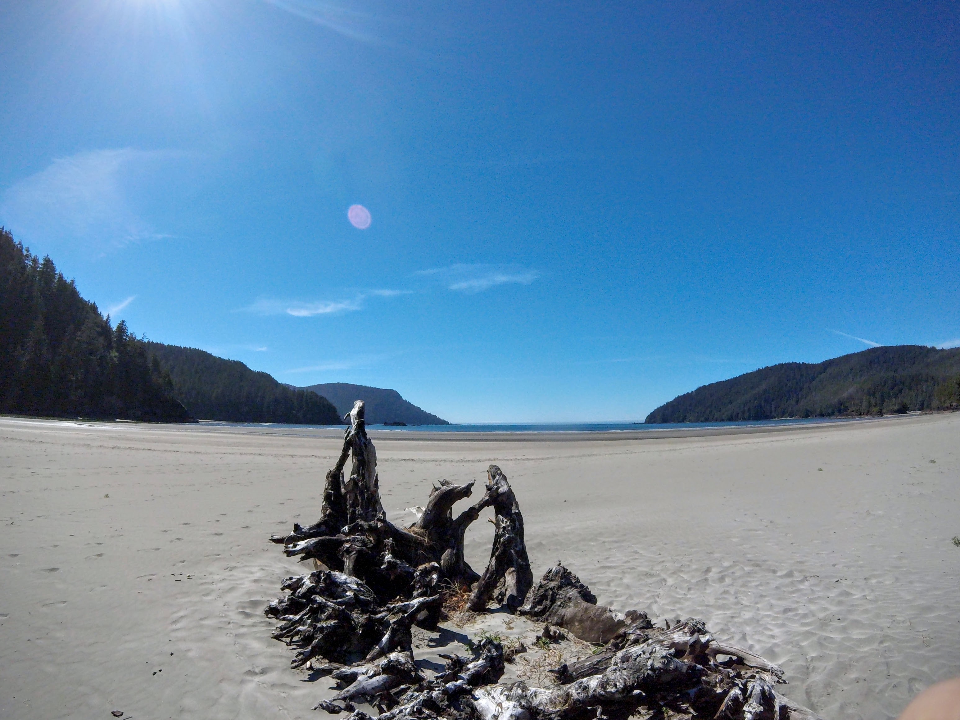
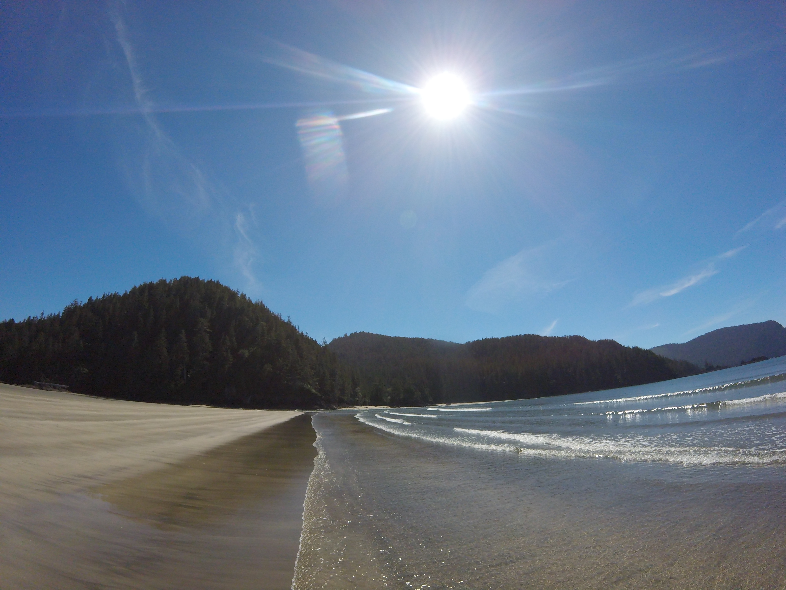
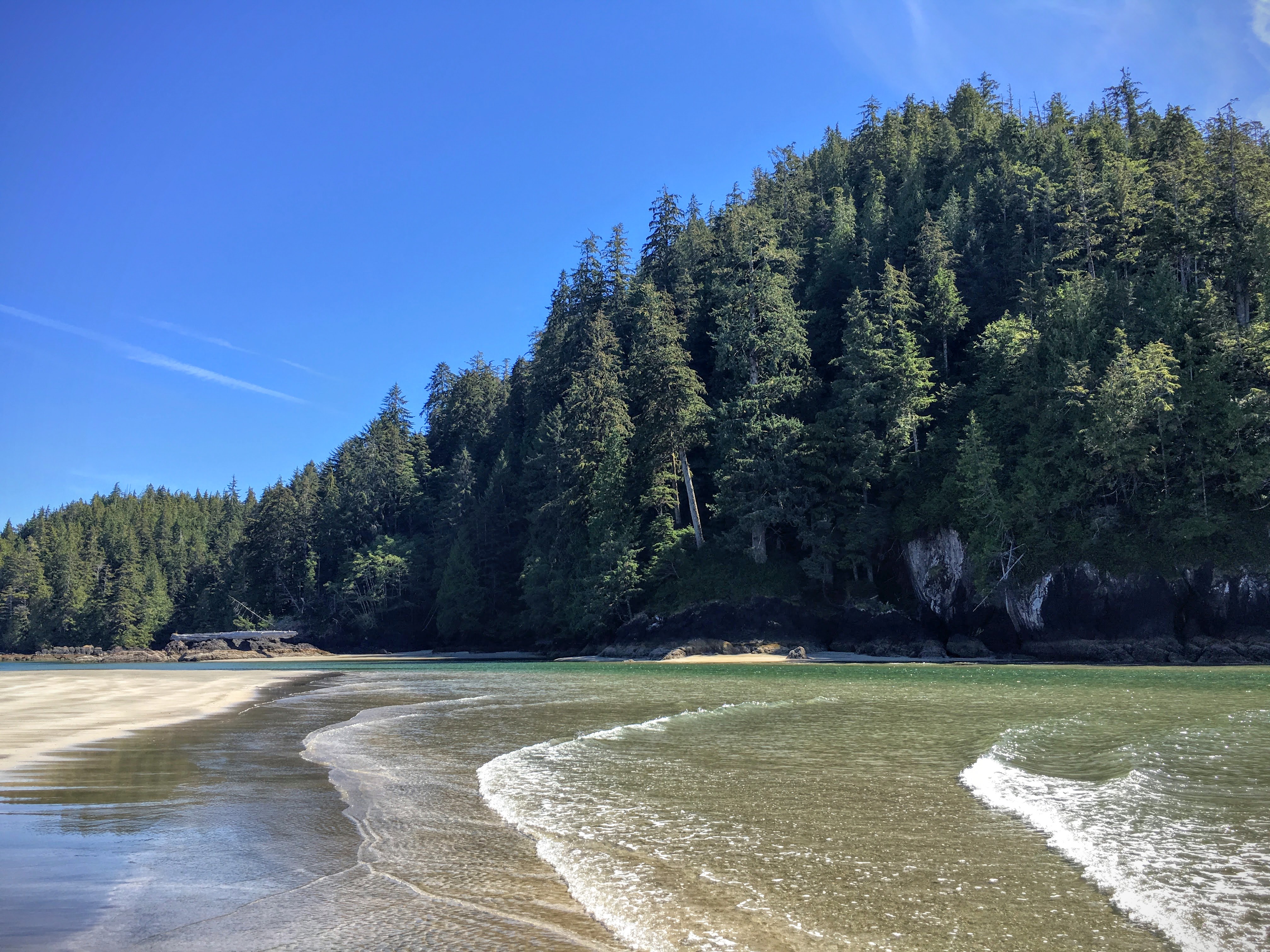
The northernmost stretch of the VIGL leads to the spectacular San Josef Bay in Cape Scott Provincial Park — one of the most beautiful beaches on Vancouver Island, reached by a 3km hike through old-growth forest.
Overview
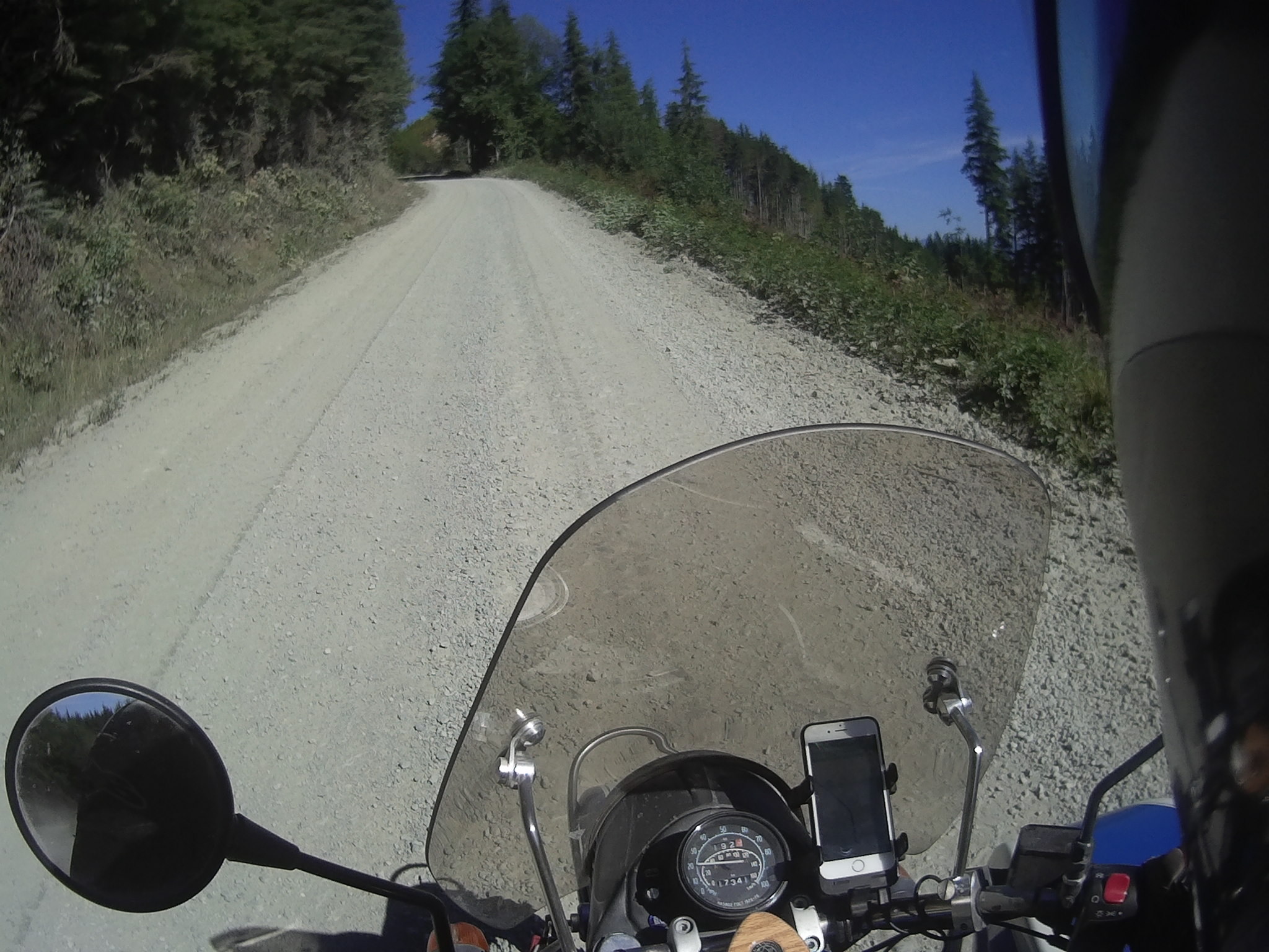
Stage 10 ventures deep into the northern tip of Vancouver Island, leading to Cape Scott Provincial Park and the spectacular San Josef Bay. The road passes Coal Harbour — a former flying boat base with inlet views — and continues on well-groomed forestry roads through increasingly remote terrain to the Holberg area and the park trailhead.
The hike to San Josef Bay is a 3km return walk through old-growth forest that ends at one of the most pristine beaches on the island. Stock up on water and snacks at the grocery store in Port Alice before leaving, and refuel in Coal Harbour — it will be roughly 140km until the next gas station in Port Hardy.
The grocery store in Port Alice — stock up on water and snacks before the long ride and the hike to San Josef Bay.
The Scarlet Ibis in Holberg for a meal before the final push to Cape Scott. No services at the park itself — plan accordingly.
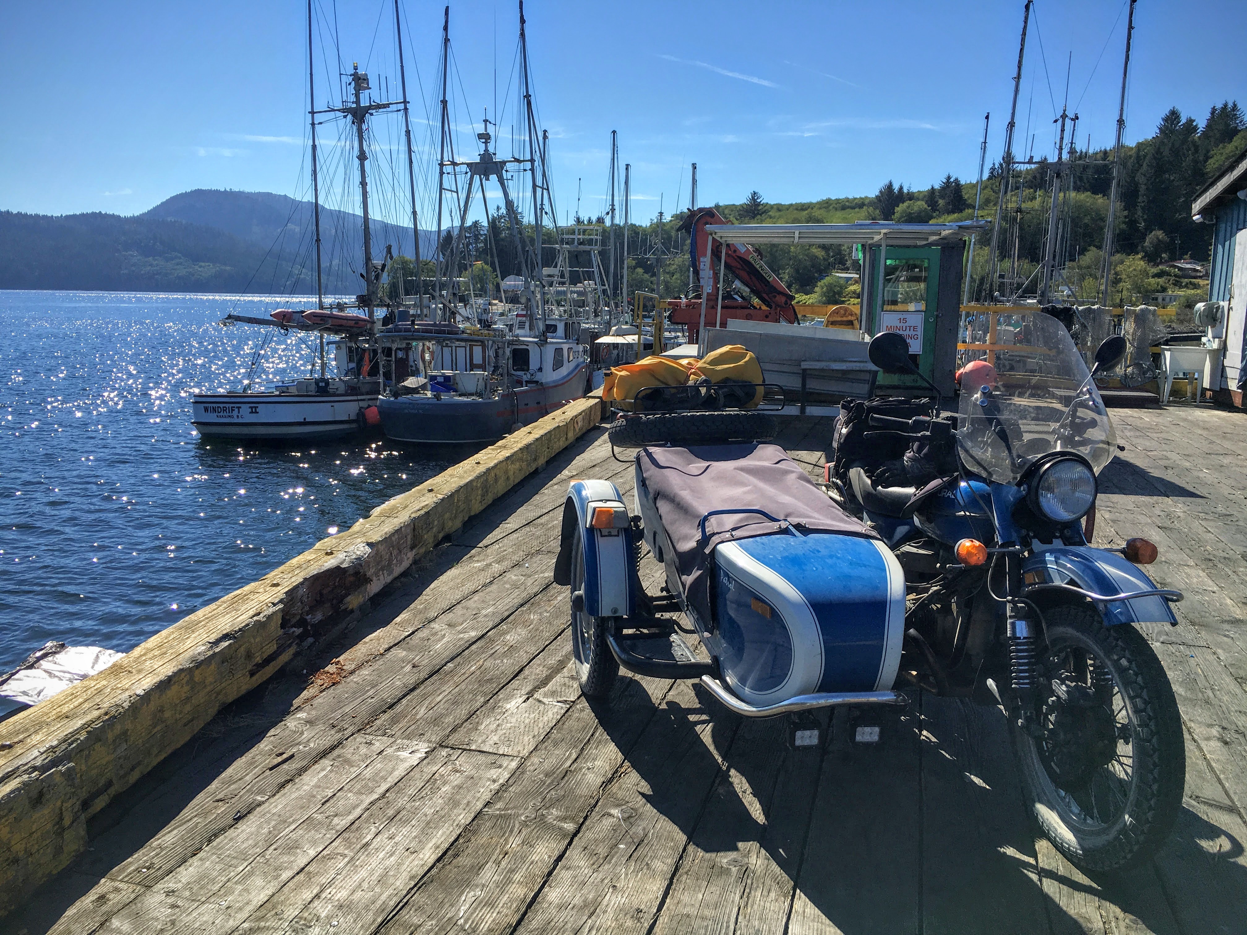
San Josef Bay (Cape Scott Provincial Park) — a 3km hike (about 1.5 hours return) leads to one of the most beautiful beaches on Vancouver Island. Coal Harbour — a historic flying boat base with scenic inlet views and one of the last fuel stops before Port Hardy.
Fuel up in Coal Harbour — it will be roughly 140km to the next gas station in Port Hardy. The San Josef Bay trailhead parking area can be busy in summer.
Stage Map
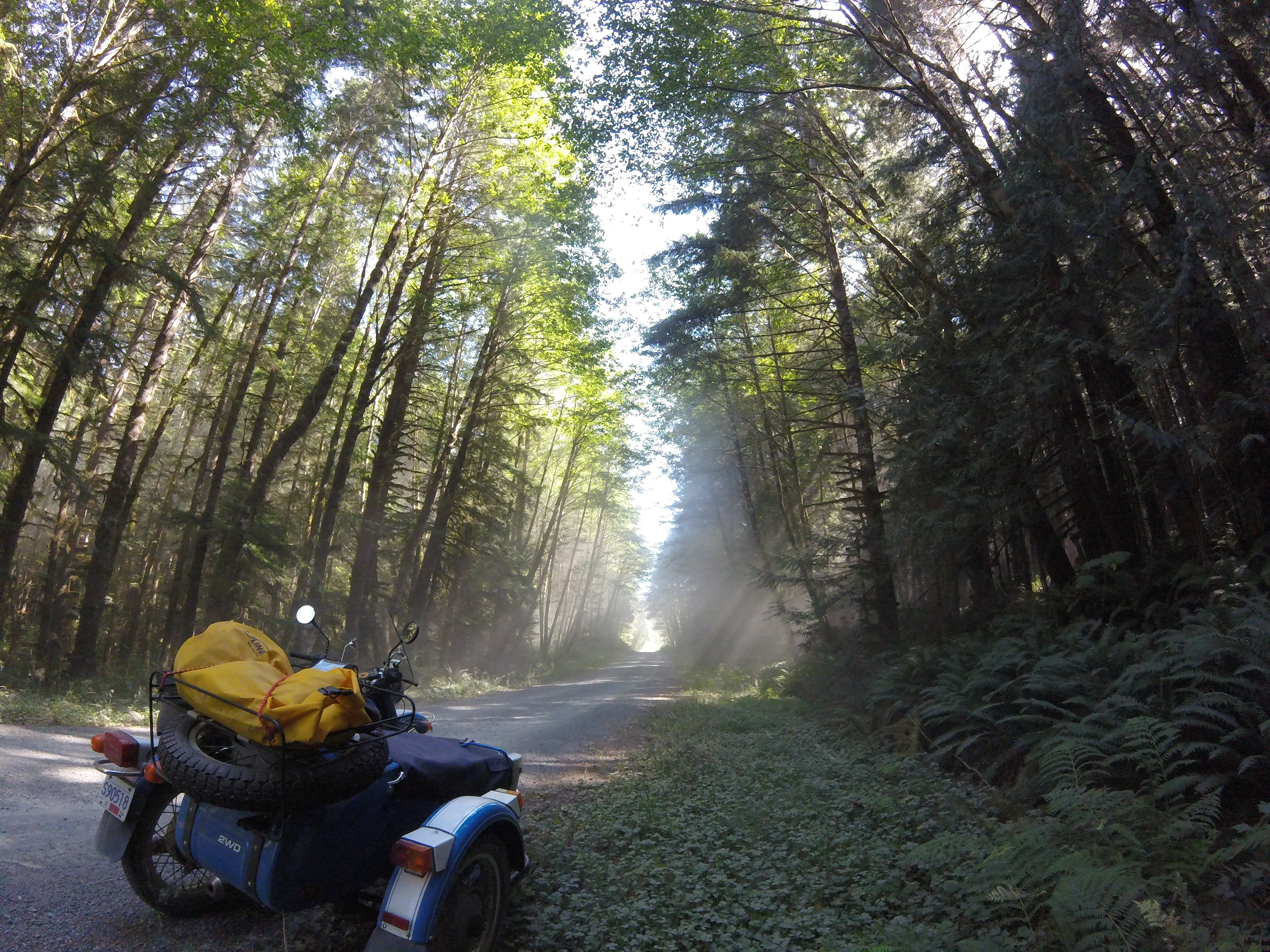
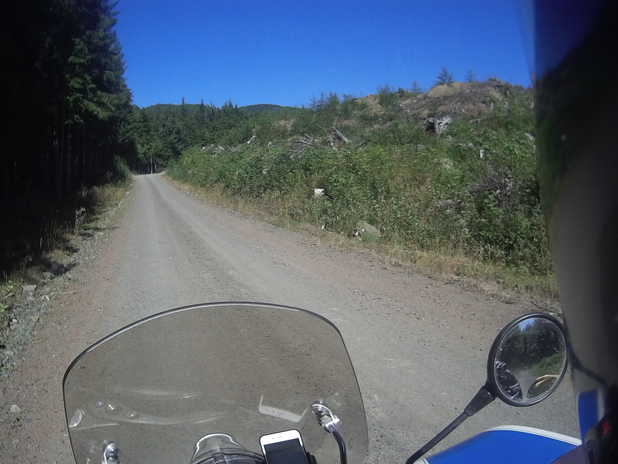
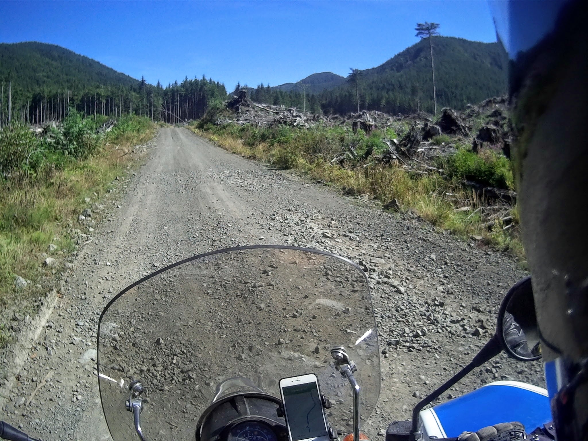
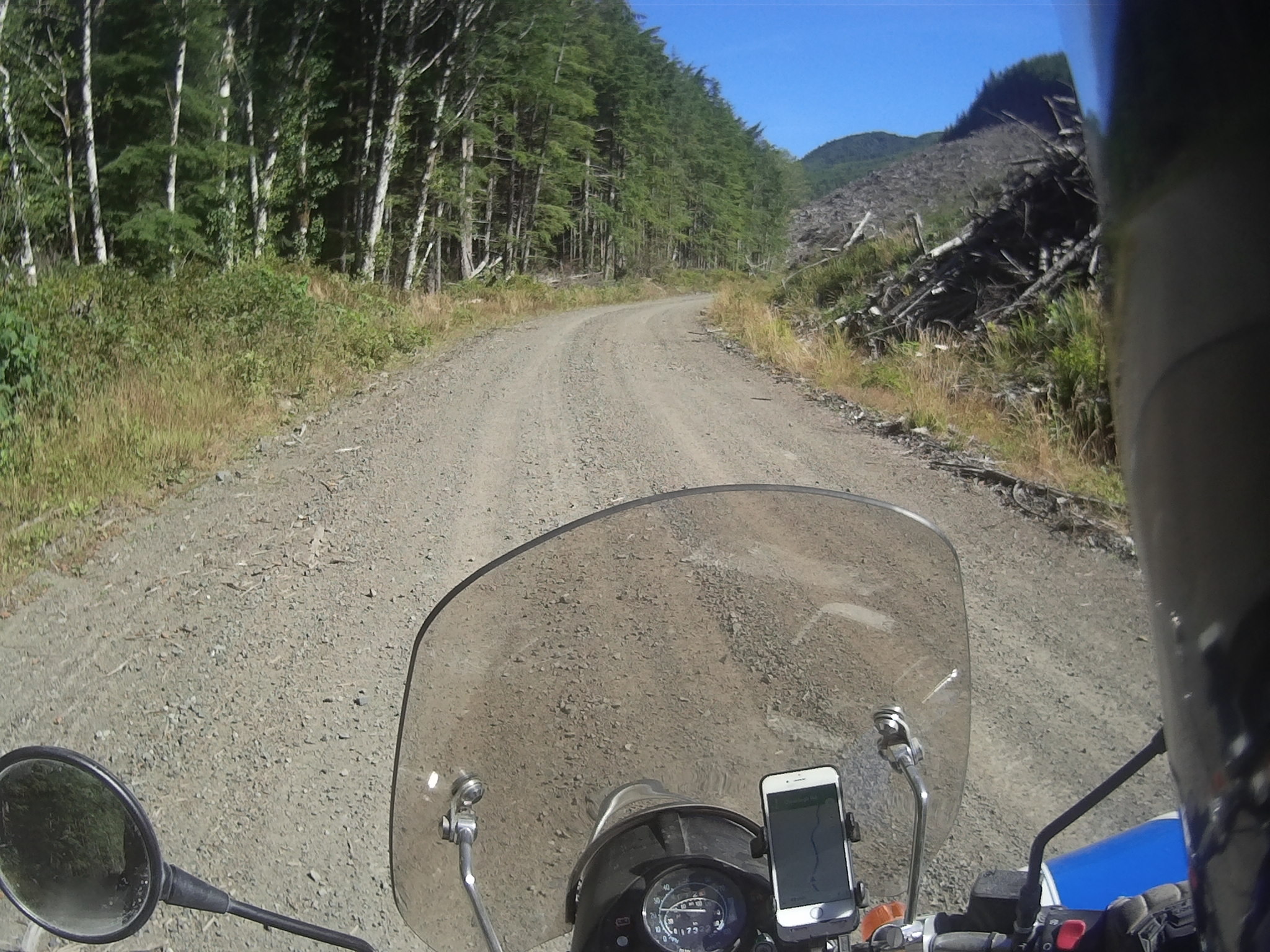
Photos